Watercourse / Channel Surveys
Flood Risk Mitigation Surveys
Flood risk mitigation modelling and hydrographic studies need accurate reliable data supplied in recognisable formats, from CAD section drawings to text files. Warner Surveys have produced many hundred’s of long & cross sections for prestigious clients and major infrastructure projects in the UK.
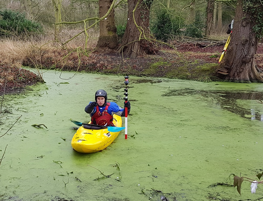
Safety
Of paramount importance in the water environment, our team includes a surveyor with 25+ years of kayak, canoe and coaching experience to carry out any boat work required. We have access to a welfare van, with toilet and washing facilities which has been useful on more remote sites and used as a case study by one large client.
Leica Equipment and Data Capture
WS uses the latest Leica GPS and Total Station instrumentation for total reliability in the field. Data is captured to Environment Agency standards and processed using industry recognised software to produce deliverables that can be imported into all flood modelling software.
Lake Bed Profiling
Other water related surveys include lake bed profiling (inc Echo sounding, if required); mapping of island extents in watercourses; use of UAV / Drones to capture, eg, bridge soffit detail, etc.
Contact Us:
Please get in touch with Operations Director Clif Webb to find out more
""… have been impressed with Warner’s approach to the project ... enthusiasm & responsiveness to proposal requests ... a benefit to the project and relationship. Warner’s technical delivery has been consistent and accurate..." "
"Mr J, Principal Consultant, International Infrastructure Co" Apr 2019