The right tool for the job?
With the march of technology, Surveyors often have access to a wide variety of survey kit. From laser scanners of various flavours and sizes through total stations and hybrid total stations with laser scanner features built in, down to electronic tape measures. 
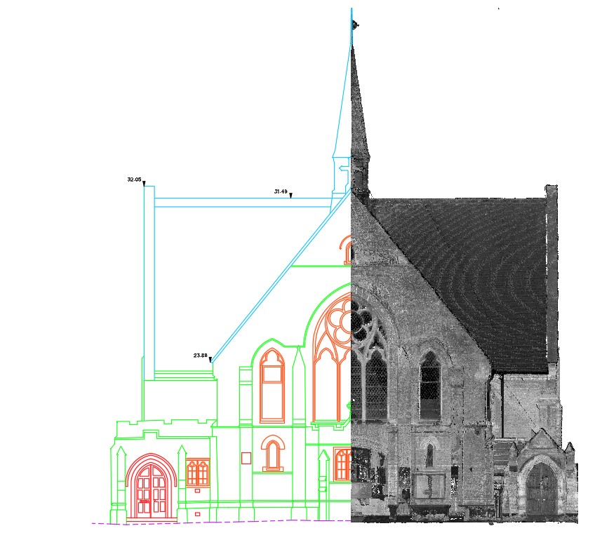
Often, we can be tempted to pick up the big guns – a laser scanner – as ‘it captures everything’. We go to site and set the instrument up and press the scan button. It does indeed capture everything including the vegetation and bushes obscuring parts of the survey subject and the large overhang that is obscuring further required detail. And, if we are scanning inside, it may not ‘see’ the back of the small boot room, or, inside the downstairs WC.
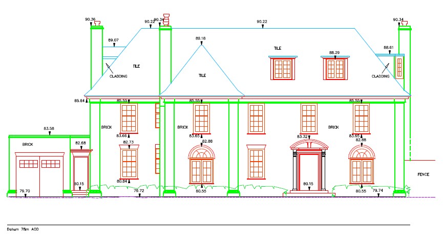
So, the biggest and best is not always the perfect solution. A surveyor needs to be thinking all the time and visualising the final product – eg, the finished 2D plans and elevations – and, while on site, making physical or mental notes of areas that will need addressing with a different survey tool. The electronic or steel tape will often be required to finish off the data collection. The surveyor who doesn’t come back with at least a couple of sketches probably hasn’t captured all required detail.
We also have to think about the processing and drawing up or modelling of the structure. Registering, manipulating, slicing and tracing over a huge point cloud may in fact take longer to process than the surveyor who has come back with conventional ‘old school’ taped survey sketches. The latter can usually sit down at a CAD station and start producing drawings straight away, while the former spends half a day preparing his scan data before he even starts in CAD.
The type of building needs to be considered too. A small modern house say from 1950’s, which is a regular shape is probably best surveyed with a total station. Whereas a small thatched timber framed building is almost certainly ideal for laser scanning.
Finally, the deliverables need to be considered. If the requirement is 2D plans, sections and elevations then scan data may be overkill. If the deliverable is a high level of detail BIM then the scan data will almost certainly aide the processing and speed up the deliverable. 
Overall, it’s a little bit of personal preference weighed up against the style and size of the building against the required deliverables. Your surveyor should choose the most efficient and cost effective method of survey to meet the specified deliverable.
For further information, contact Operations Director, Clif Webb
